You can contact us with the problem you are having and we will investigate.
Stripe Online Payments
Sellingantiques have now partnered with Stripe card processing to give you a seamless purchase experience of antiques on sellingantiques.
Millions of companies of all sizes use Stripe online to accept payments and is the worlds No.1 payment gateway.
So how does it work: Look for the button in the antique details page to instantly purchase antiques from dealers who have activated Stripe online payments.
You can now easily filter and show antiques that only have this option enabled.
Using this button notifies us immediately that you have purchased this item. Once you have made the payment we will instantly mark it as sold to ensure that no one else can buy it.
Discounts can also be made available.
We are always improving the purchase experience for both buyer and seller and more and more dealers are enabling this option each week.
Item Number:SA1113443 Date of manufacture:Before 1700 Current Status: For sale Seller:Antique and Unique
This antique has been viewed 29 times in the past month with the most views from the UK.
Purchase Item # SA1113443 Now direct from Antique and Unique.
Antique and Unique can accept payment for this antique via Credit / Debit card, Amex or Google Pay
£110
PURCHASE ANTIQUE
Your credit card is processed securely by Stripe Inc.
Description
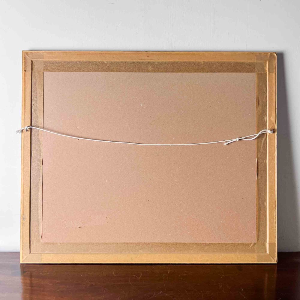
A fascinating hand coloured road map or strip map by John Ogilby, showing the route from Warrington to Derby, taken from the 1698 edition of Ogilby�s �Britannia� map. The Briannia held one hundred routes, and this is plate number ninety. John Ogilby had a fascinating life and it is well worth reading up about him. Amazingly, he didn�t start the incredible task of producing a road map of Britain until he was in his seventies. The first edition of the Britannia was published in 1675, and John sadly died the following year. The second edition was published in 1698. The maps were very popular with travellers, as it enabled them to see distances between towns clearly and therefore better plan how long their routes would take. To read the map, start in the bottom left hand corner and move up the strip, then back to the bottom of the next one, and so on until you finish in the top right corner. It shows a route through Cheshire, briefly into Lancashire, back into Cheshire, and then into Derbyshire. There are a lot of familiar names though differing slightly with age. Being from Derbyshire, that section is of most interest to me. I especially like how on the stretch between �Shawcross the hall� and Buxton, the only landmarks are two craggy area marked �a rock�. A fascinating slice of history that you can easily spend a long time studying. Condition: The map itself is not in very good condition and this is reflected in the price. It is heavily discoloured and has various torn areas throughout. The frame has a small area of damage on the bottom left hand corner, but is otherwise good. The map is still an attractive and interesting item despite its condition. Dimensions: Width - 64cm Height - 53cm Free UK delivery - the item will be sent using a tracked and signed for service. If you would like a quote for delivery elsewhere please get in touch. Please note that delivery of all items is included for UK mainland deliveries only. If you are in the EU or the USA smaller/postable items will show a price including delivery. DELIVERY FOR ANY LARGER ITEMS, OR ITEMS OF FURNITURE, IS NOT INCLUDED OUTSIDE OF THE MAINLAND UK. Please get in touch for a quote for delivery, or if you have any queries. This is an antique item and as such may have signs of wear in accordance with its age. Anything that we think is of note will have been mentioned above, but please study the photos carefully to satisfy yourself as to its condition as it is not possible to list every little mark or flaw. We are happy to provide high resolution photographs or videos if required, and answer any questions you may have - just get in touch! We accept returns for all items providing the item is returned in the same condition as when it was sent. The cost of any return postage or delivery is the responsibility of the buyer, unless the item has arrived damaged or has not been described accurately.
Declaration
This item is antique. The date of manufacture has been declared as Before 1700.
Dimensions
Height = 53 cm (20.9")
Width = 64 cm (25.2")
Depth = 1.8 cm (0.7")


Thank you.
Your comment has been sent to Sellingantiques.